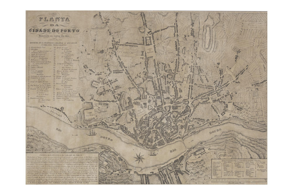
This map shows the Suspension Bridge, inaugurated a year before in 1843, for the first time. It is the only printed map from the first half of the 19th century that shows it.
Perry Vidal’s map points out two new aspects of the city’s progress: the first is the Suspension Bridge, correctly located in the place where it was built; the second, and of great interest for the city’s commerce, is the steamship.
Some important urban changes are indicated: the recently built Praça do Bolhão is shown, as is Rua da Restauração, now open along its entire length and connected to the Massarelos promenade.
The map also has a caption with the buildings, and the various thoroughfares all numbered.
